
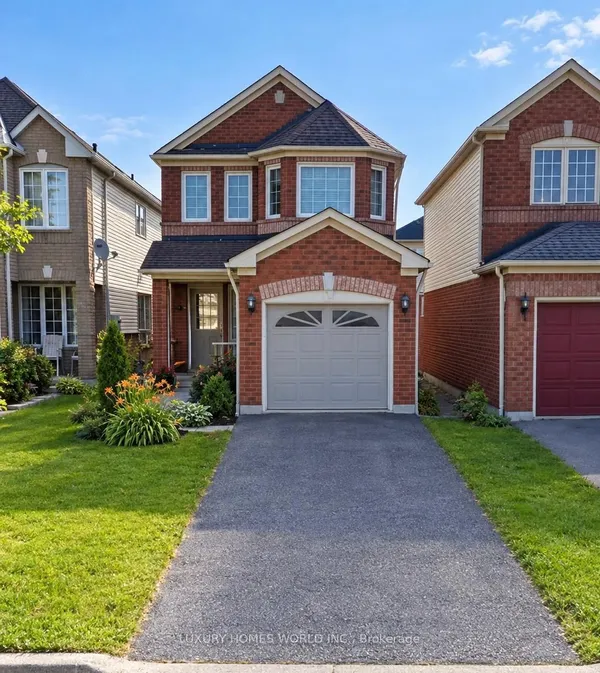
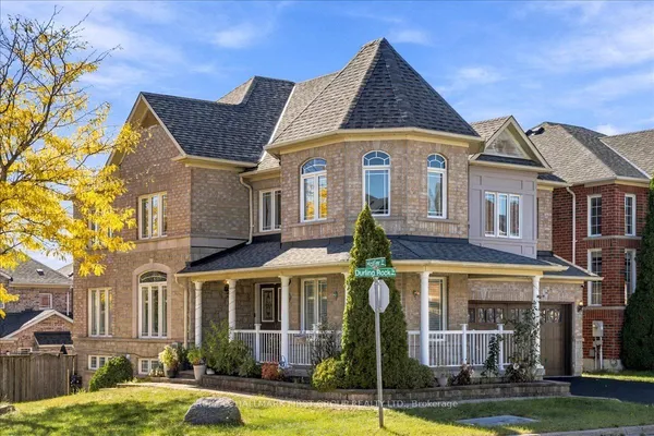
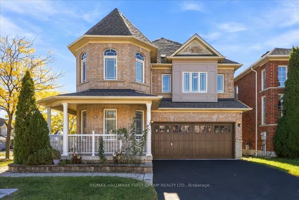
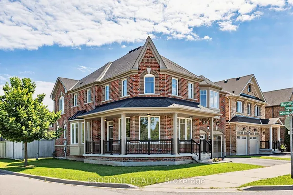
How Ajax is laid out
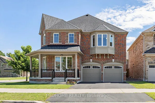
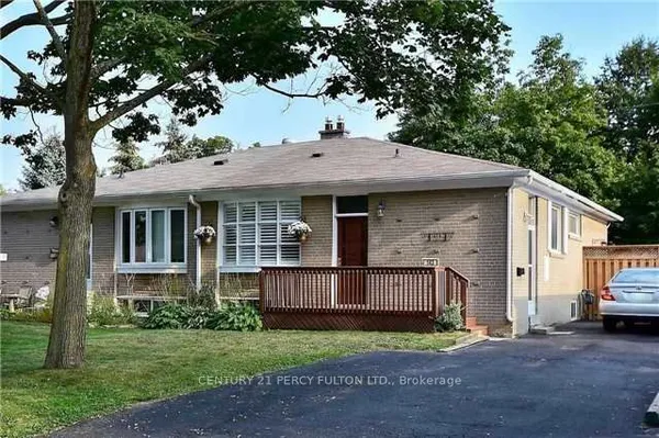
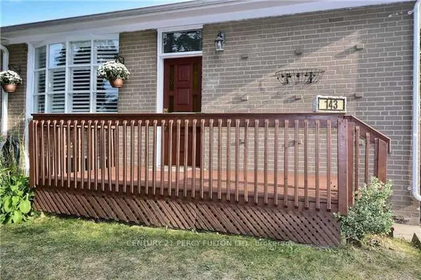
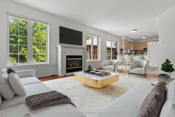
Harwood Avenue is the spine, running from the lake at Rotary Park north past the 401 to Taunton Road. Downtown sits where Harwood meets Bayly Street: the town hall, the main library and Pat Bayly Square, a civic square with residential and office buildings that opened in September 2018 on land the town sold for the purpose in 2012. TRREB's South West and South East communities are everything below the 401, split roughly at Harwood: to the west, Riverside, Duffins Bay and Lakeside back onto Duffins Creek and the marsh; to the east, Pickering Beach, Lake Vista and Carruthers Creek run to the Whitby line. Central, Central West and Central East cover the band between the 401 and Rossland Road, with the town's oldest wartime streets near Harwood and Kings Crescent, Pickering Village at Kingston Road and Church Street on the west, and Clover Ridge, Salem Heights and Applecroft toward the east. Northwest Ajax and Northeast Ajax, north of Rossland, are the 2000s and 2010s subdivisions of Westney Heights, Nottingham, Audley and Deer Creek reaching up to the 407. The town lists 28 local neighbourhood names, so a listing may use one of those instead.