
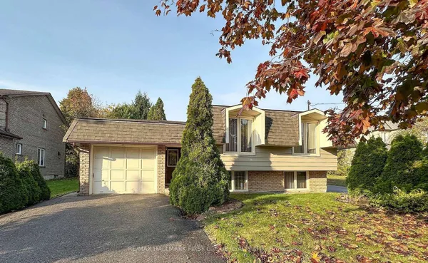
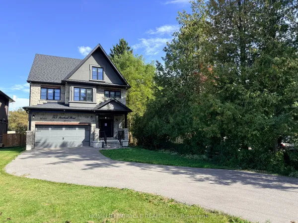
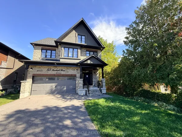
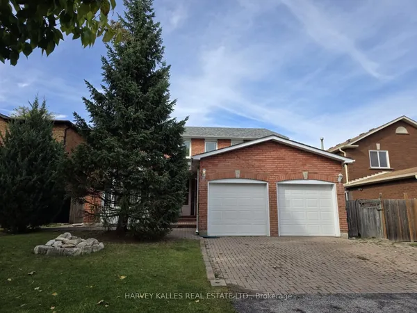
How Pickering is arranged
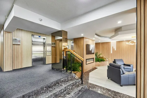
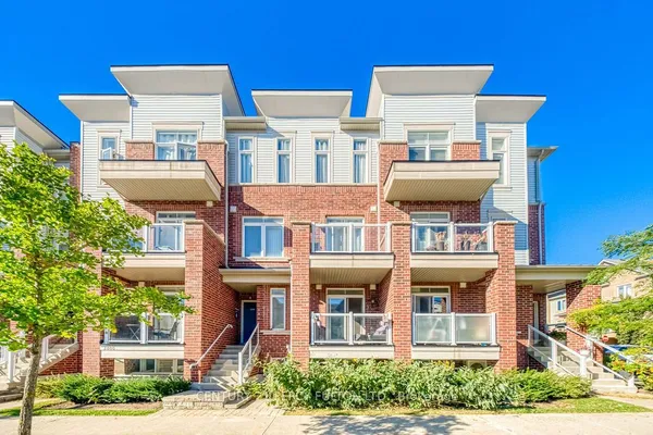
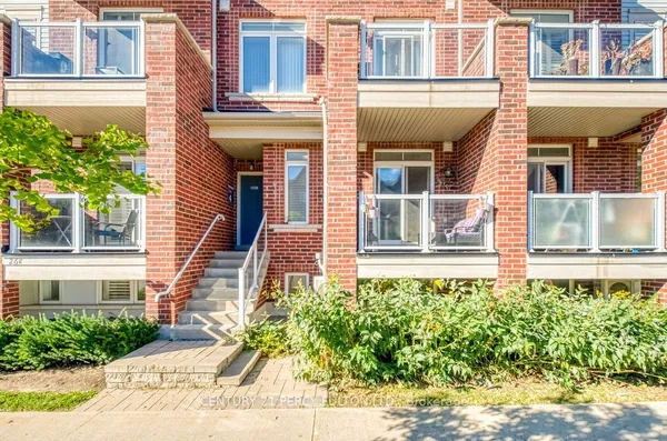
South of Highway 401, four communities touch the water. Rougemount and Rosebank sit on the Toronto edge above the Rouge River and Petticoat Creek, with the oldest cottage streets and the biggest rebuilds. West Shore and Bay Ridges face each other across Frenchman's Bay, the second on a 1960s grid that runs from the GO station down Liverpool Road to the harbour. Between the 401 and the hydro corridor along the Third Concession lies the main suburban band: Woodlands, Highbush and Amberlea on the west side around Whites Road and Altona Road, Dunbarton and Liverpool in the middle, Town Centre around the mall, City Hall and the Esplanade, and Village East between Brock Road and the Ajax boundary. Brock Ridge and Duffin Heights climb either side of Brock Road toward the Canadian Pacific line. Everything beyond that line is Rural Pickering on the TRREB map, so the new Seaton streets and the hamlets, Claremont, Greenwood, Whitevale, Brougham, share one community name; read the address, not the label. Listings sometimes carry a local name such as Nautical Village instead.