
How Whitby is laid out
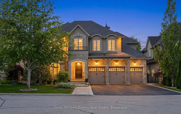
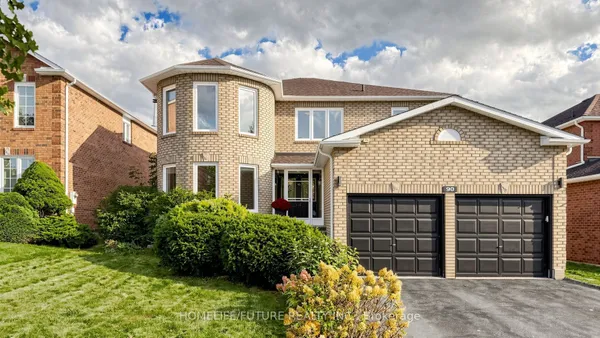
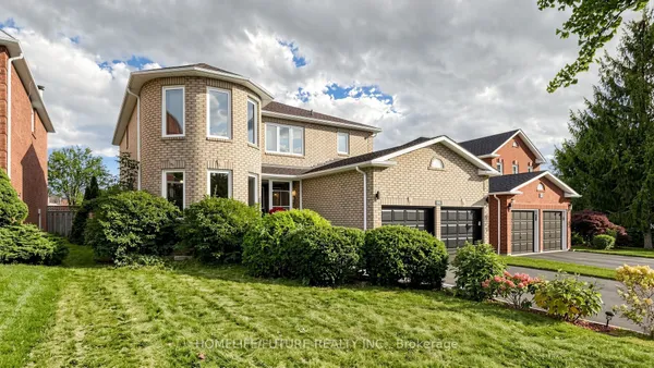
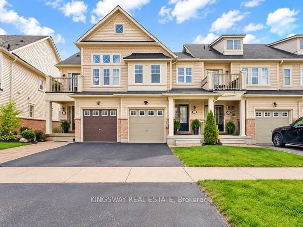
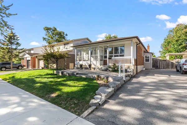
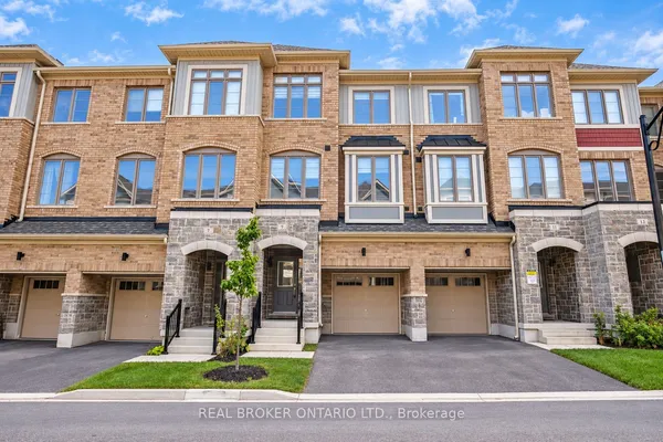
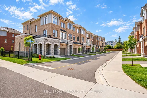
Think of Whitby in three horizontal bands. Below Highway 401 is Port Whitby: the harbour, the marina, the rail corridor and the GO station, with newer condo and townhouse blocks around Victoria Street. Between the 401 and Taunton Road is the older town. Downtown Whitby keeps its Victorian main street on Brock Street and the heritage homes on the side streets east of it, and the subdivisions of Lynde Creek to the west, Pringle Creek and Blue Grass Meadows in the middle, and Rolling Acres toward the Oshawa line fan out from it. Above Taunton Road the town is younger: Williamsburg and Taunton North date from the 1990s and 2000s, and Brooklin, at the junction of Highway 7 and Highway 12, grew from a mill village settled in the 1820s into a community that local estimates put at roughly 25,000 to 30,000 people. Beyond Brooklin the rural hamlets of Ashburn, Myrtle and Myrtle Station sit on farm and moraine land. The west boundary follows Lake Ridge Road and the Highway 412 corridor; Ajax is on the other side.