
Pickering neighbourhood guide

Rougemount

Rougemount is the Pickering neighbourhood that looks across the Rouge valley at Toronto. The first houses went up along Rougemount Drive between 1900 and 1940, when this stretch of Kingston Road was known as the Rouge Hill community, and the mid-1800s Georgian house of military doctor William Holmes still stands at 301 Kingston Road, given Ontario Heritage Act designation in 2021. Subdivisions filled the west side of Altona Road in the 1970s, apartments and townhouses lined the north side of Kingston Road in the 1990s, and the rest is large-lot detached housing, roughly three dwellings in four, on streets that end at the treeline of Rouge National Urban Park. One resident in five is 65 or older, reportedly more than anywhere else in west Pickering, which tells you how long people stay. Kingston Road along the bottom edge carries the plazas, banks, restaurants and daycares, the PULSE 900 bus to U of T Scarborough and downtown Oshawa, and the City's plan for a walkable Rougemount Village mainstreet from Altona Road east to Rosebank Road. The Rougemount Drive overpass is the neighbourhood's private link to Rosebank and the lake.

Rougemount homes by the numbers

Live from the MLS® feed · updated October 8, 2026

8 For sale now
5 New in 30 days
$1,298,500 Median asking price Middle half $999K to $1.6M
$517 Asking price per sq ft
22 days Median days listed
14% Listings with a price cut Median cut 6.7%

What is for sale: 6 detached homes · 2 townhouses

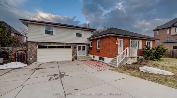
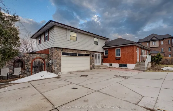
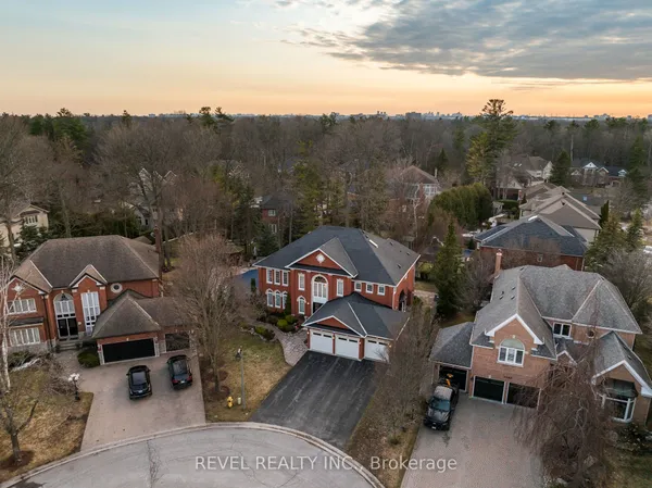
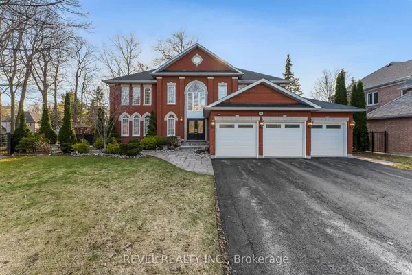
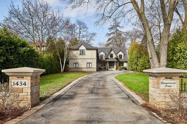
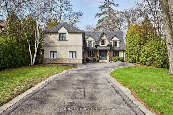
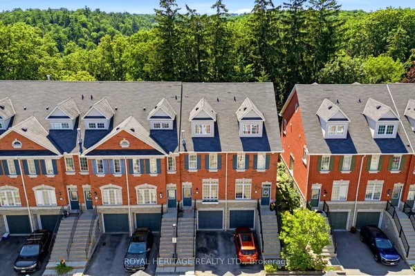
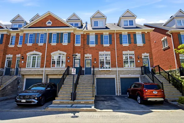
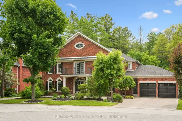
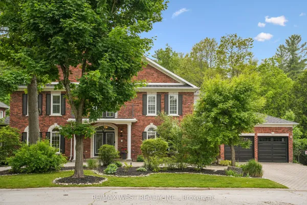
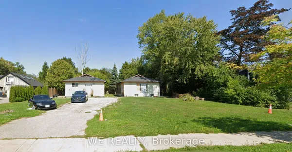
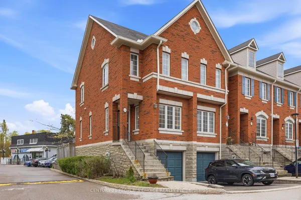
Newest Rougemount homes for sale

See all 8 listings

New Rougemount homes for sale land here first. Save this search and we email you the moment one is listed.

Where Rougemount sits

Rougemount is the westernmost neighbourhood north of Highway 401, running from the Rouge River valley on the west to Petticoat Creek on the east, with the highway along the south edge and the CN rail line that angles northwest toward Toronto as the northern limit, per the City's profile. Rougemount Drive climbs from Kingston Road beside the valley, Altona Road is the collector linking Kingston Road with Sheppard Avenue; Twyn Rivers Drive drops into the valley at the top end. The TRREB map is generally read as the streets closest to the river; whether the 1970s subdivision west of Altona Road is counted here or under Highbush varies by guide.

The homes you will find

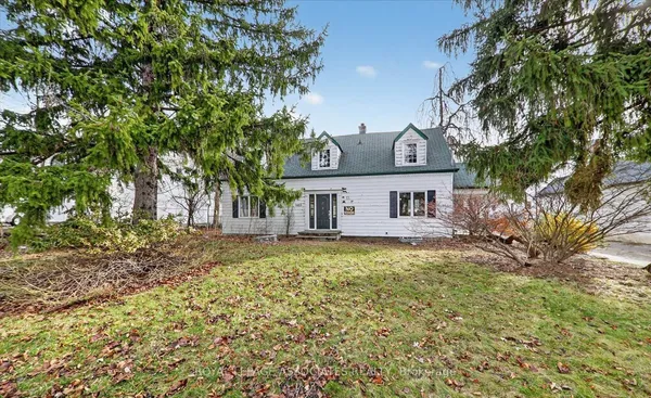
The oldest houses stand along Rougemount Drive and the short streets off it near Kingston Road: bungalows and modest 1.5-storey houses from the first half of the last century, some in fieldstone like the listed example at 401 Kingston Road, on lots that run back toward the valley. Above them, ravine lots along the park edge carry the neighbourhood's custom rebuilds, walk-out basements and long decks facing the trees. West of Altona Road the 1970s subdivision supplies sidesplits and two-storey brick houses on conventional lots, the closest thing here to a starter home. Along the north side of Kingston Road the 1990s left townhouse complexes and a mid-rise apartment building, which is why about one dwelling in ten is a row house and nearly as many are in buildings of five storeys or more. Expect wide variation in age and condition from one lot to the next, and note that the City's Kingston Road plans mean the frontage properties may one day be redeveloped at higher density.

Getting around

Altona Road is the spine, carrying traffic from Kingston Road north to Sheppard Avenue, Finch Avenue and Taunton Road, and Twyn Rivers Drive winds down through the valley to Sheppard Avenue East in Scarborough, the only local road into Toronto. Highway 401 has no ramp here; drivers use the westbound ramp on Kingston Road east of Rosebank Road, the full interchange at Whites Road, or Port Union Road on the Toronto side. Transit means Kingston Road: PULSE 900 runs to U of T Scarborough one way and downtown Oshawa the other, the 920 covers Scarborough Centre station on weekdays, and the N1 night bus takes over after midnight. Rouge Hill GO is minutes away by car across the river; Pickering GO, over on Bayly Street, is about fifteen minutes east. The Durham-Scarborough BRT that Metrolinx is building along Kingston Road is meant to add dedicated lanes in time. Cycling into the park is excellent; cycling on Altona Road is not.

Schools

The City counts two elementary schools inside Rougemount. On the public side, Durham District School Board families are reportedly assigned to Altona Forest Public School on Altona Road, and after Grade 8 to Dunbarton High School near Whites Road and Sheppard Avenue, which runs French immersion. Catholic families reportedly have St. Monica on Twyn Rivers Drive, with St. Mary, the Catholic secondary on Whites Road above Finch, after Grade 8. École Ronald-Marion, Viamonde's public school, handles French-language instruction, and MonAvenir covers the French Catholic side from Notre-Dame-de-la-Jeunesse across the Ajax line. Both English boards move their lines when schools fill, so ask for the assignment attached to the address before you rely on it. Post-secondary is unusually close: the U of T Scarborough campus and Centennial's Morningside campus are ten minutes west on Kingston Road, and the PULSE 900 delivers students to both without a car.

Parks, shopping and daily life

The park is the point. Rouge National Urban Park, run by Parks Canada since 2015, wraps the whole western edge, with the Twyn Rivers Drive trailheads, the Glen Rouge campground on Kingston Road at the river and the Toronto Zoo across the valley on Meadowvale Road; on the Pickering side the valley slopes are wild, and the City's own neighbourhood park and Petticoat Creek's trail fill in the east. Kingston Road handles the errands: plazas with a supermarket, banks, restaurants, offices and several child-care centres line the south edge, Petticoat Creek Community Centre with its seniors' programs and library branch stands on Kingston Road nearby, and Pickering City Centre is a fifteen-minute drive. Morningside Crossing in Scarborough is as close for big-box shopping. Petticoat Creek Conservation Park and the lake are five minutes south via the overpass. For hospitals, Scarborough Health Network's Centenary site on Ellesmere Road is usually closer than Lakeridge Health Ajax Pickering.

Who it suits

Rougemount suits buyers who want Toronto within reach and the Rouge valley past the last house on the street: professionals who commute west on the 401 or to the Scarborough campuses, families who want a ravine lot and a quiet cul-de-sac, and long-term owners planning a rebuild. Its townhouses and 1970s streets give younger buyers a way in. It does not fit someone set on walking to a GO train, anyone who dislikes highway hum on the southern streets, or who expects new-subdivision uniformity. Kingston Road frontage properties carry redevelopment potential and the traffic that comes with it.

Questions people ask about Rougemount

Can I walk into Rouge National Urban Park from Rougemount?

Yes. The park's Twyn Rivers area caps the neighbourhood's north end, with trails dropping into the valley from Twyn Rivers Drive, and the Glen Rouge campground and the marked trails on the Toronto bank are reportedly reachable from Kingston Road at the river. Parks Canada has been adding trails and signage; check current closures, since valley paths wash out in spring.

How bad is Highway 401 noise?

The streets nearest the highway hear it constantly, especially in winter without leaves, and the westbound Kingston Road ramp adds local traffic. Houses higher up Rougemount Drive and along the valley edge are quieter. Visit on a weekday afternoon with windows open, and check whether the house has upgraded glazing on the south side.

What is planned for Kingston Road in Rougemount?

The City's Kingston Road corridor guidelines name this stretch Rougemount Village, from Altona Road to Rosebank Road: a low-rise, two-storey-minimum mainstreet with on-street parking, wide sidewalks and slower traffic, framed by a western gateway at Altona Road above the Rouge valley. Longer term, the Durham-Scarborough BRT and higher density on the corridor are the City's stated direction.

Is there a GO station I can use?

Rouge Hill GO, in Scarborough where Lawrence Avenue East ends, is the nearest, a few minutes by car over the Rouge, and Pickering GO, on Bayly Street, sits about fifteen minutes east with far more parking. Neither is walkable from Rougemount's streets. Many residents instead ride PULSE 900 west to U of T Scarborough or east to the Pickering Parkway terminal.

Are the ravine lots regulated?

Lots backing onto the Rouge valley and the Petticoat Creek ravine sit inside the regulated area of the conservation authority, TRCA, and the park boundary itself is federal land. Decks, pools, additions and tree removal near the slope need TRCA sign-off, and the top of bank, not the lot line, sets what you can build. Get the mapping before you plan.

Sources: pickering.ca · pickering.ca · media-002-ca.cdn.govstack.com · media-002-ca.cdn.govstack.com · parks.canada.ca · en.wikipedia.org