
Pickering neighbourhood guide

Woodlands

Woodlands is the west Pickering neighbourhood that wears two faces. Up the hill, on Rosebank Road, Old Forest Road and Highbush Trail, it is a place of big lots and old trees where houses have stood since the first decades of the 1900s, joined by 1980s subdivisions east of Rosebank Road and by decades of custom rebuilds. Down the hill, along Kingston Road, it is the busiest commercial strip in west Pickering: plazas, car dealerships, a supermarket, a medical centre, a hotel, a fire hall and the 1990s apartment tower at the northeast corner of Whites Road. That split is why only about half the dwellings are detached houses while a quarter are row houses, a mix unusual for a neighbourhood this old, and why the population grew by a tenth between the 2016 and 2021 censuses while Rosebank and Rougemount lost residents. Dunbarton High School and its indoor pool, the Petticoat Creek library branch and community centre, and the Whites Road interchange to Highway 401 are all inside or on its edges, which makes Woodlands one of the most convenient addresses in the city for a family that still wants a ravine behind the fence.

Woodlands homes by the numbers

Live from the MLS® feed · updated October 8, 2026

16 For sale now
8 New in 30 days
$1,173,450 Median asking price Middle half $819K to $2.1M
$546 Asking price per sq ft
30 days Median days listed
13% Listings with a price cut Median cut 2.9%

What is for sale: 12 detached homes · 4 townhouses

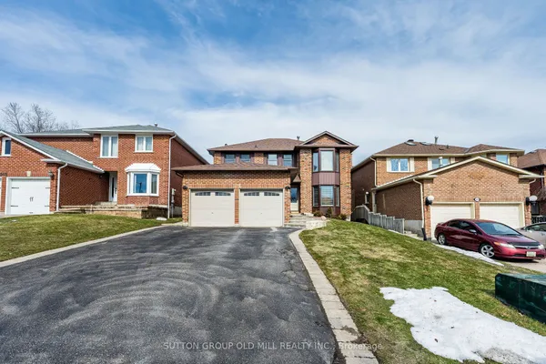
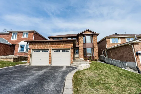
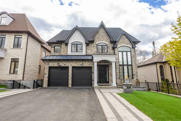
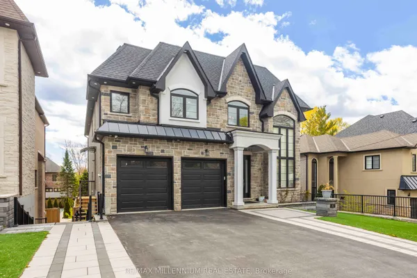
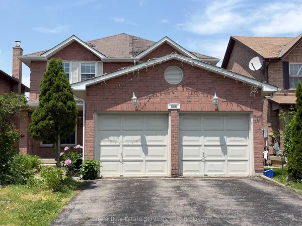
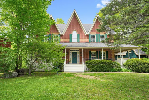
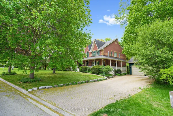
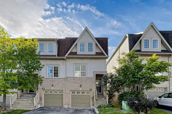
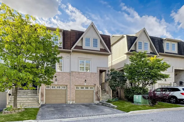
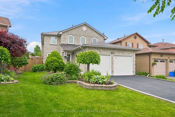
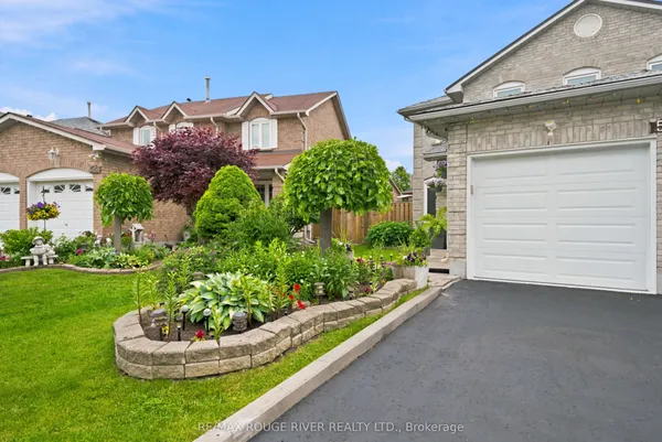
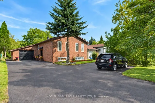
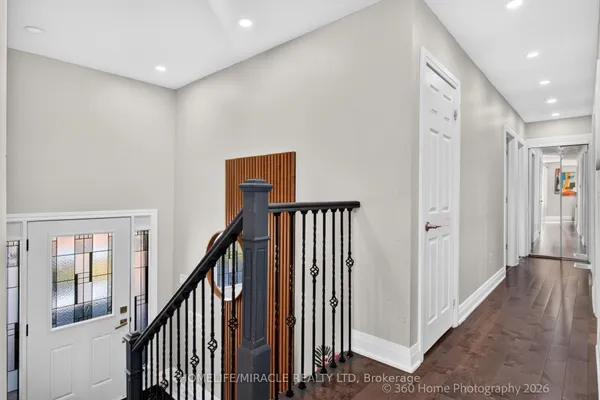
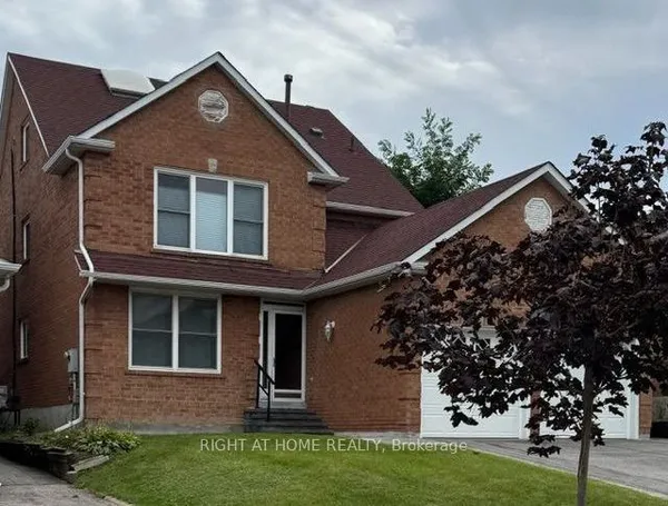
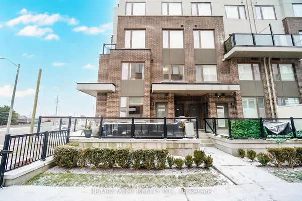
Newest Woodlands homes for sale

See all 16 listings

New Woodlands homes for sale land here first. Save this search and we email you the moment one is listed.

Where Woodlands sits

Woodlands sits north of Highway 401 on either side of Rosebank Road, with the Petticoat Creek ravine as its west edge and Whites Road as its east, with Kingston Road and the highway along the bottom and, roughly, Sheppard Avenue and the CN rail line at the top. The City's own Woodlands profile runs further east past the Whites Road interchange to a small Amberlea Creek tributary, taking in the Kingston Road and Sheppard Avenue blocks east of Whites, and some guides put the northern edge at Finch Avenue instead. Old Forest Road, Highbush Trail and Rosebank Road are the original streets.

The homes you will find

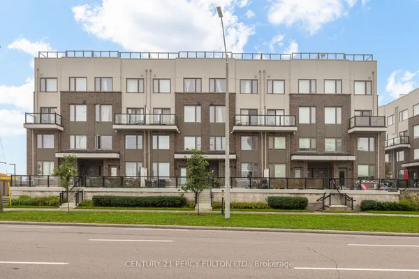
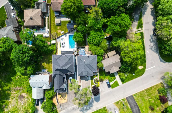
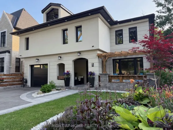
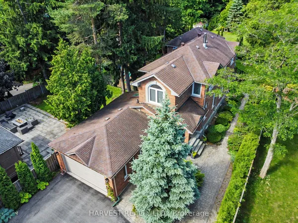
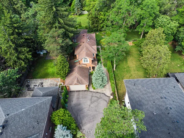
The original houses along Rosebank Road, Old Forest Road and Highbush Trail date from 1900 to 1940: bungalows and small frame houses on deep lots, a growing number replaced by custom two-storey houses that use the full width the lot allows. East of Rosebank Road the 1980s subdivisions supply four-bedroom brick houses and sidesplits on standard suburban lots, often backing onto the South Petticoat Ravine or the school grounds. Townhouse condominiums and freehold rows cluster near Whites Road and Kingston Road, and the 1990s apartment building at the Whites Road corner supplies the only high-rise living. Duplexes, many of them older houses with a basement apartment, account for roughly one home in ten. Because the Northeast Quadrant between Kingston Road, Whites Road and Sheppard Avenue has its own City guidelines calling for four-storey-plus buildings on Whites Road and two-storey frontages on Sheppard, newer townhouse and stacked projects continue to appear on that edge. Renters occupy about a fifth of homes, the highest share in west Pickering.

Getting around

Whites Road is the neighbourhood's exit: the full Highway 401 interchange sits at its foot, and a westbound on- and off-ramp further east on Kingston Road handles Toronto-bound trips. North, Whites Road reaches Finch Avenue, Taunton Road and, since February 2021, its own interchange with Highway 407. Rosebank Road and Whites Road both connect Kingston Road to Sheppard Avenue. Kingston Road carries PULSE 900 with frequent all-day service from U of T Scarborough through to downtown Oshawa, while the 118 runs up Whites Road toward Seaton and the 121 uses Whites Road and Strouds Lane en route to Pickering GO. The station itself, on Bayly Street, is about a seven-minute drive via Whites Road South. Sidewalks are continuous on the arterials, the ravine has an informal trail, and the bike lanes the City plans for Whites Road and Kingston Road are still partial.

Schools

Dunbarton High School anchors the neighbourhood from Sheppard Avenue near Whites Road, a Durham District School Board secondary opened in 1961 with dual-track French immersion and a public indoor pool attached; the City's profile counts a second secondary school within the lines, likely its South Campus. Elementary assignments run street by street to schools in the surrounding area, and the board's own maps are the only reliable guide. Durham Catholic District School Board pupils, meanwhile, use St. Elizabeth Seton, up on Strouds Lane, or St. Monica to the west, both of which send students on to St. Mary Catholic Secondary, the board's Whites Road high school north of Finch. Viamonde's École Ronald-Marion is the French-language public school, and the French Catholic option is MonAvenir's school in Ajax, Notre-Dame-de-la-Jeunesse. PULSE 900 reaches U of T Scarborough and Centennial's Morningside campus without a transfer.

Parks, shopping and daily life

The South Petticoat Ravine is the neighbourhood's wild edge, a forested valley draining toward the lake that the City protects within its natural heritage system, with Petticoat Creek Conservation Park a short drive south of the highway. Neighbourhood parks and the Dunbarton school fields cover the middle, and the public swimming option is the indoor pool attached to Dunbarton High School. Kingston Road does the shopping: the plazas from Rosebank Road over to Whites Road carry the supermarket, banks, restaurants and offices, Steeple Hill Shopping Centre sits at the Whites Road corner, and a medical centre and several dealerships line the strip. Petticoat Creek Community Centre, a seniors' hub with a library branch inside, stands on Kingston Road at the west end. Pickering City Centre and the Central Library are ten minutes east. Emergency care means Lakeridge Health Ajax Pickering or, westward, the Centenary site of Scarborough Health Network on Ellesmere Road.

Who it suits

Woodlands suits families after a big lot or a ravine backyard without giving up a walk to a high school, a pool and a bus, and it suits first-time buyers who use its townhouses and duplex apartments as a way into west Pickering. Commuters like the Whites Road interchange and the 407 link. It is a weaker fit for anyone wanting quiet at the south end, where Kingston Road traffic, dealership lighting and the highway are constant, or to buyers who want a uniform new subdivision. The redevelopment the City expects along Kingston Road will bring more density to the southern blocks over time.

Questions people ask about Woodlands

Where exactly is Woodlands, and does it include the streets east of Whites Road?

It depends on the map. The City's Woodlands neighbourhood runs from the Petticoat Creek ravine east past the Whites Road interchange to a small creek, and north from the 401 to the CN rail line. Real estate maps tend to stop at Whites Road, so the Kingston Road and Sheppard Avenue blocks east of it may be listed under Amberlea. Ask which map a listing is using.

How close is Highway 401 from Woodlands?

Very. The Whites Road interchange is at the neighbourhood's southeast corner, while the streets toward Rosebank Road use the westbound ramp off Kingston Road. Most addresses are on the highway within three or four minutes. The price of that is noise and light on the southern streets, so look at the elevation and the tree cover between a house and the corridor.

What is the South Petticoat Ravine and can I build near it?

It is the wooded valley of Petticoat Creek on the neighbourhood's west side, part of the City's natural heritage system and inside the area TRCA regulates. Lots that back onto it need conservation authority approval for decks, pools, additions and grading, and the top of bank rather than the fence sets the buildable limit. The reward is a backyard that opens onto forest.

Is Kingston Road going to change?

Yes, slowly. The City's corridor guidelines treat the stretch from Rosebank Road to the CN overpass as the Whites Road Corridor, an auto-oriented precinct with pedestrian zones at the signals and taller landmark buildings permitted at Whites Road, and its long-term plan calls for higher-density, mixed-use redevelopment with the Durham-Scarborough BRT running through it. Existing residential streets are not part of that.

Which GO station do Woodlands residents use?

Pickering GO on Bayly Street, about seven minutes by car down Whites Road South, with a large lot and 15-minute weekday service to Union. The 121 bus connects the neighbourhood to the station via Whites Road and Strouds Lane. Rouge Hill GO, across the Rouge in Scarborough, is an alternative for the western streets, reached along Kingston Road.

Sources: pickering.ca · pickering.ca · media-002-ca.cdn.govstack.com · pickering.ca · pickeringlibrary.ca · en.wikipedia.org