
Where Rosebank sits
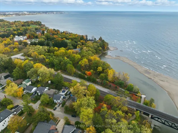
Rosebank occupies Pickering's far southwest: the Rouge River on the west, Highway 401 on the north, Petticoat Creek on the east and the Lake Ontario shore below, the lines the City draws for its Rosebank neighbourhood profile. Rosebank Road South runs down the middle from the highway to the lake, with Rodd Avenue, Bella Vista Drive, Dyson Road, Toynevale Road and Cowan Circle branching off it, and the CN rail line cuts across on a diagonal. Part of Rouge National Urban Park and most of Petticoat Creek Conservation Park fall inside the lines; the TRREB polygon was not checked directly, so treat the eastern edge as approximate.