
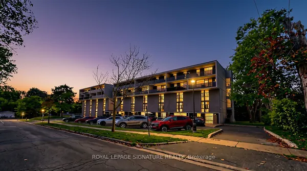
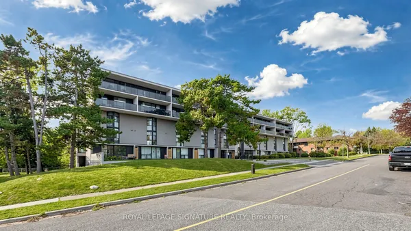
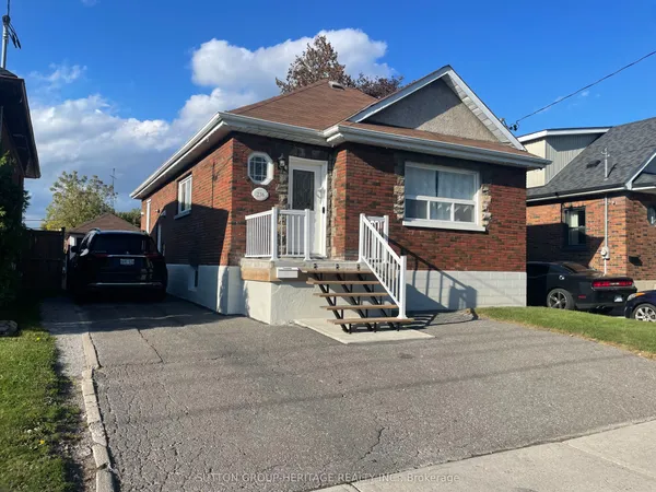
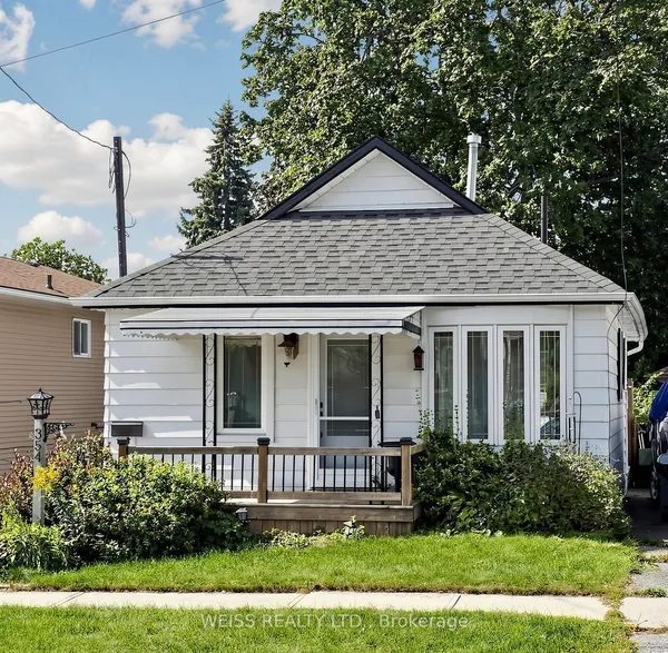
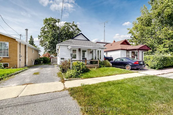
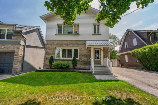
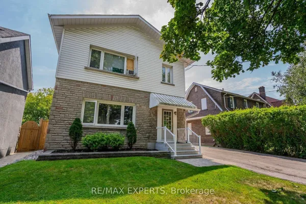
Where Central sits
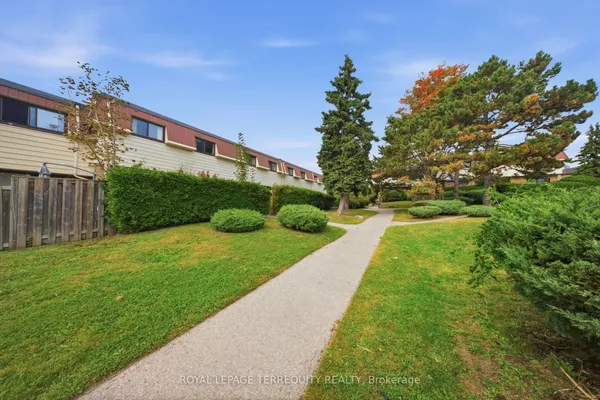
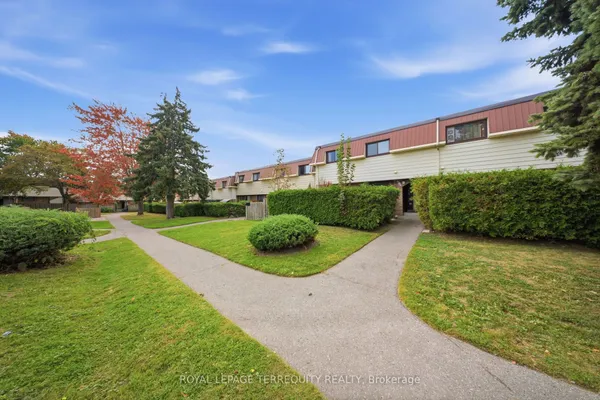
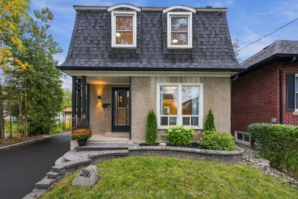
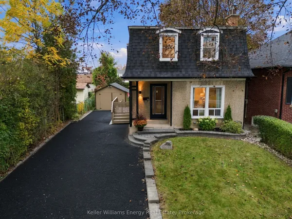
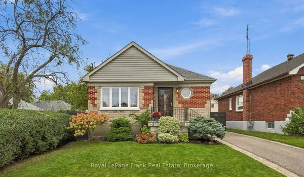
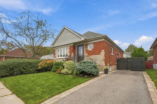
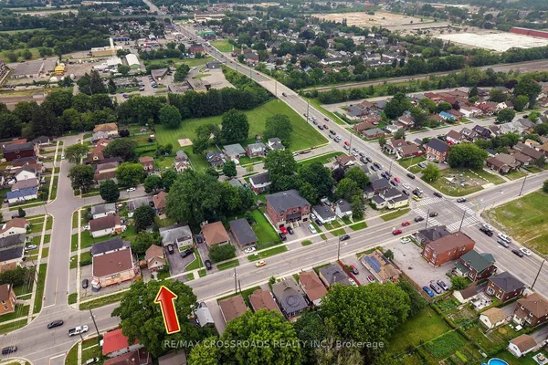
Central is downtown Oshawa and the older streets south of it. The City's community map has it running from King Street south to Bloor Street and the Highway 401 corridor, with Oshawa Creek on the west and Wilson Road South on the east, which takes in Simcoe Street South, Ritson Road South, Albert Street, Olive Avenue and the lands beside the CP tracks where Metrolinx plans its Central Oshawa stop. The blocks north of King, including Bond Street, the bus terminal and the university's downtown halls, fall on the O'Neill side of that line even though everyone calls them downtown, so read the northern edge as roughly drawn.