
Scugog neighbourhood guide

Rural Scugog

Rural Scugog is 474 square kilometres of farmland, moraine and lakeshore wrapped around Port Perry, assembled from three old townships, Reach, Cartwright and Scugog, that joined the village on January 1, 1974. The Highway 7 and 12 corridor on the west carries Manchester, Greenbank, where Highway 47 comes in from Uxbridge, and Blackwater; Simcoe Street runs north through Seagrave and the Nonquon River flats; Scugog Island sits in the lake with its farms, the reserve of the Mississaugas of Scugog Island, and Great Blue Heron's casino and hotel; and the Cartwright side east of the causeway holds Nestleton, Nestleton Station on Highway 7A, and Caesarea, a cottage colony on the eastern shore whose post office dates to 1951. Utica and Epsom fill in between. Buyers are farmers and hobby farmers, horse people, cottagers turning a Caesarea lot into a year-round house, tradespeople looking for a shop, and commuters who put up with a longer drive to Oshawa or Whitby in exchange for acreage and a private well. Roughly 12,000 of the township's 21,581 residents live outside Port Perry.

Rural Scugog homes by the numbers

Live from the MLS® feed · updated October 8, 2026

70 For sale now
38 New in 30 days
$1,074,000 Median asking price Middle half $842K to $1.3M
$554 Asking price per sq ft
28 days Median days listed
25% Listings with a price cut Median cut 8%

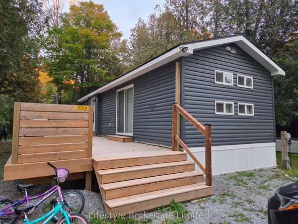
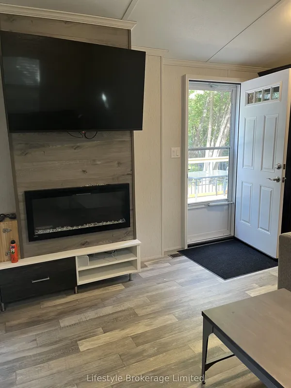
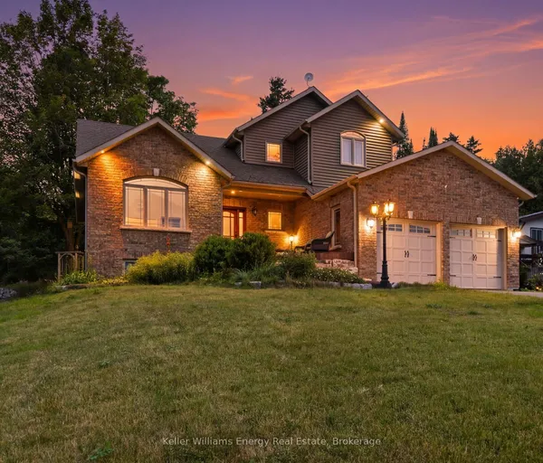
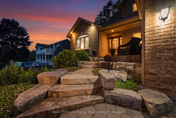
Newest Rural Scugog homes for sale

See all 75 listings

New Rural Scugog homes for sale land here first. Save this search and we email you the moment one is listed.

Where Rural Scugog sits

Rural Scugog is the township outside Port Perry and Blackstock: the former Reach Township west and north of town with Manchester, Utica, Epsom, Greenbank, Blackwater and Seagrave, the original Scugog Township on Scugog Island, and the Cartwright side east of the lake with Nestleton, Nestleton Station and Caesarea. It reaches from the Uxbridge line and Highway 12 in the west across to the Kawartha Lakes line on the north and east, and to the Whitby, Oshawa and Clarington lines on the south. Guides differ on whether Prince Albert's outskirts and the roads just beyond Blackstock fall here or in the neighbouring communities, so check both listings maps.

The homes you will find

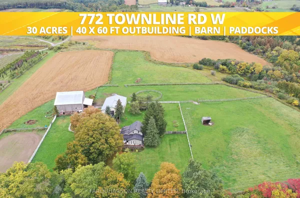
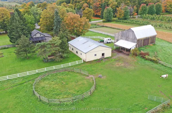
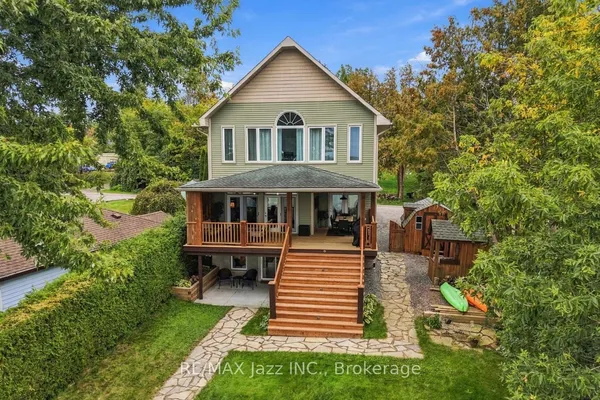
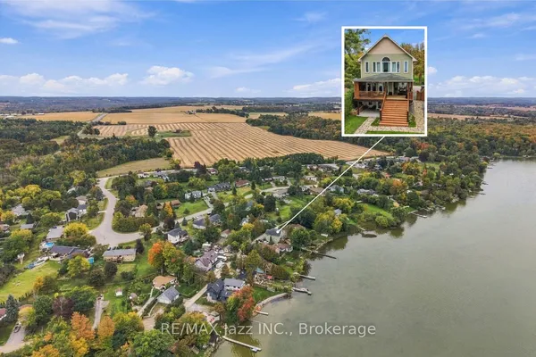
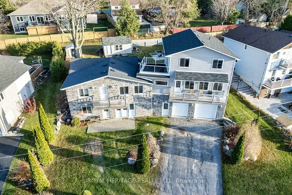
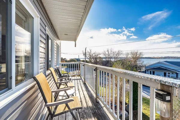
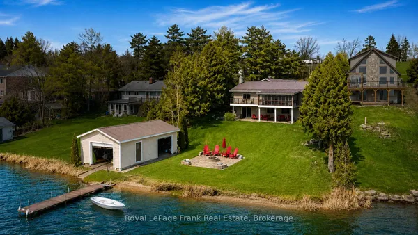
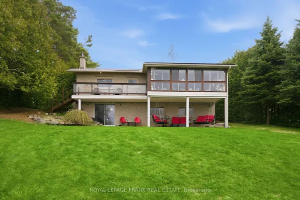
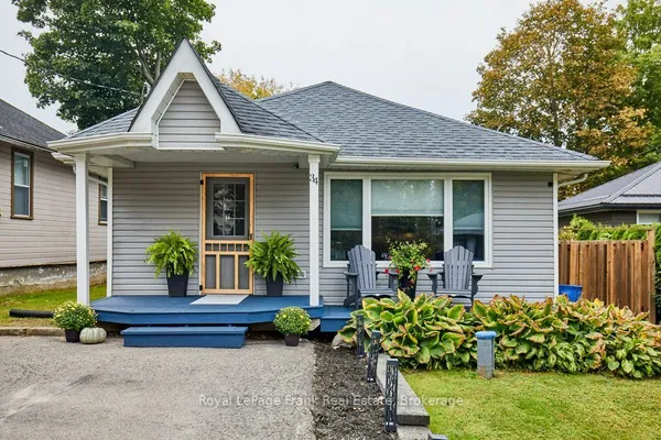
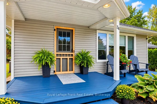
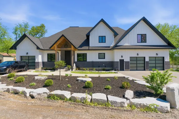
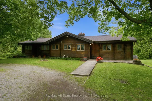
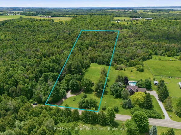
The stock follows the old township lines. Reach, on the west, is farm country: century brick farmhouses on 100-acre concessions along the numbered Scugog Lines, severed one- to three-acre lots with 1970s to 1990s bungalows and two-storeys on the sideroads, and hamlet cores in Greenbank, Manchester, Utica and Epsom with Victorian frame houses and postwar bungalows on village lots. Seagrave is a rural cluster along Simcoe Street north of the Nonquon. Scugog Island mixes working farms, old cottage lanes and rebuilt year-round houses along the shore. The Cartwright side is different: Caesarea and Williams Point grew as summer cottage lots on Lake Scugog from the 1920s to the 1960s and have been converting to permanent homes ever since, so the same street can hold a winterized cabin, a raised bungalow and a new two-storey side by side on narrow lots, while Nestleton and Nestleton Station keep farmhouses and hamlet homes. Nearly every property here has its own well and septic bed, except where the Region runs a small municipal water system in a hamlet.

Getting around

Highway 7 and 12 share the road from Brooklin through Manchester and Greenbank to Sunderland, giving the west side a straight run to the Baldwin Street 407 ramps and the 412 into Whitby; Highway 47 leaves at Greenbank for Uxbridge. Simcoe Street, Regional Road 2, links Seagrave and Port Perry south to Oshawa and the 407. Highway 7A crosses the causeway and Nestleton Station toward Highway 35 and Peterborough; from Blackstock, Regional Road 57 heads south to Bowmanville, the 407 and Highway 418, untolled since April 2022. The provincial 407 went toll-free on June 1, 2025. Transit is thin: Durham Region Transit route 618 runs weekdays between the Port Perry terminal and Beaverton on Highways 7 and 12, route 905 serves Port Perry and Uxbridge, and On Demand vans cover the rural roads on weekdays between 6 a.m. and midnight, booked up to three days in advance. Winter closures on the causeway happen.

Schools

Greenbank Public School serves the Highway 12 hamlets and the western concessions, Prince Albert Public School takes the south and parts of Reach, Cartwright Central Public School, the Blackstock elementary, covers the Cartwright side including Caesarea and Nestleton, and the two Port Perry elementaries, Cornish and Cawker, pick up Scugog Island and the closer roads; all of them public schools under the Durham District School Board, feeding Port Perry High School. Catholic elementary students go to Good Shepherd on Reach Street in Port Perry, a Durham Catholic school, then bus south for secondary. Buses are long, and some northern roads are assigned to Sunderland or Uxbridge schools, so ask the board, not the listing. Immersion French and the French-language boards both require a drive to Port Perry or the lakeshore cities. Each board maps its own catchments by address.

Parks, shopping and daily life

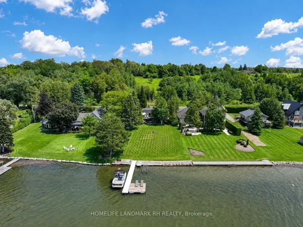
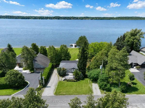
The lake is the amenity: Lake Scugog spreads across 68 square kilometres yet is only about 1.4 metres deep on average, created when a dam at Lindsay flooded the marsh in 1834 and rebuilt at a lower level in 1844, so it fishes well for bass, crappie and walleye, freezes early for ice huts, weeds up by August, and connects to the Trent-Severn Waterway for cruising. Caesarea has a public beach and launch on the east shore, Port Perry the marina and Palmer Park. The Nonquon Provincial Wildlife Area north of Seagrave and the Durham East Cross Forest on the Cartwright side are the big natural areas, with the moraine forests south toward the Oshawa line. Hamlets keep halls, churches, ball diamonds and a fair or two, but shopping means Port Perry's Queen Street and Highway 7A plazas, Uxbridge for the Greenbank side, or Bowmanville for Cartwright. Lakeridge Health Port Perry runs the closest emergency department around the clock, and the casino on Scugog Island employs many neighbours.

Who it suits

Rural Scugog suits farmers and hobby farmers, horse and hound people, tradespeople who need a shop and a yard for trucks, cottagers converting a Caesarea lot into a retirement house, and anyone who wants a lake within minutes and a farm gate down the road. It suits commuters only if they accept 45 minutes or more to the 401 and winter driving on open roads. It is the wrong place for buyers who need transit, town water and sewer, fast internet on every concession, or the freedom to sever and build, since the Greenbelt, the moraine plan and Regional servicing rules constrain most of the township.

Questions people ask about Rural Scugog

What should I know about a Caesarea or lakeshore property?

Whether it is a converted cottage or built to code, the age and size of the septic bed on a narrow lot, the water source and whether the well is drilled or a lake intake, shoreline ownership and any road allowance between the house and the water, flood elevation, and the Kawartha Conservation regulation on the lot. Docks, weeds and spring water levels are the daily realities.

How are wells and septic systems handled here?

Write the offer around three conditions: a bacteria and nitrate test on the well water, a pump-rate test, and a septic inspection after pumping. Ask when the bed went in and how many bedrooms it was sized for, and check that the well is not downhill from a barnyard or a neighbour's system. The Region runs small municipal water systems in a few hamlets, so confirm which applies.

Are livestock or a home business allowed on a rural lot?

Zoning decides. Agricultural zones allow livestock and farm-related businesses, rural residential lots usually do not, and the moraine and Greenbelt plans add another layer, especially along the township's southern edge. Check the Scugog zoning by-law and the minimum distance rules for barns before you count on it.

Is transit realistic from the hamlets?

Barely. Route 618 stops along Highways 7 and 12 on weekdays, route 905 runs through Port Perry, and On Demand vans can be booked to connect with them, but a car per adult is the working assumption. Most commuters end up driving to a GO station in Whitby or Oshawa, or to the 407 at Baldwin Street or Simcoe Street.

Does the Greenbelt or moraine affect my property?

Much of Scugog is inside the Greenbelt, and the 2001 moraine plan covers the southern band, with designations that restrict new lots, aggregate pits nearby and some uses. Neither stops you from living in or renovating an existing house. Get the designation map for the parcel before you plan a severance or a second dwelling.

Sources: en.wikipedia.org · en.wikipedia.org · en.wikipedia.org · en.wikipedia.org · en.wikipedia.org · en.wikipedia.org