
Clarington neighbourhood guide

Rural Clarington

Rural Clarington is most of Clarington by area and a small share of it by population: the concession-road grid of Darlington and Clarke townships, a dozen hamlets that each began as a crossroads with a mill, a church or a store, and the wooded rise of the Oak Ridges Moraine across the north. Hampton on Old Scugog Road was Darlington Township's seat and keeps its mill pond; Tyrone's mill has run on water power since 1846; Enniskillen, Haydon, Solina, Mitchell Corners and Burketon sit along the north-south roads between Bowmanville and the Scugog line; Kendal and Kirby lie toward the Ganaraska Forest; Newtonville and Maple Grove are on the Highway 2 corridor. Farming is still the main land use, with dairy, cash crops, apples and horses, and the provincial moraine and Greenbelt policies of the early 2000s have all but stopped new subdivisions here. Buyers are farmers expanding, tradespeople after a shop and acreage, hobby-farm and horse households, and city buyers after a century house on a few acres a manageable run from the 407 and 418, which since 2019 have put the north hamlets thirty minutes closer to the GTA than they were.

Rural Clarington homes by the numbers

Live from the MLS® feed · updated October 8, 2026

76 For sale now
35 New in 30 days
$1,399,950 Median asking price Middle half $979K to $2.0M
$627 Asking price per sq ft
34 days Median days listed
20% Listings with a price cut Median cut 5.6%

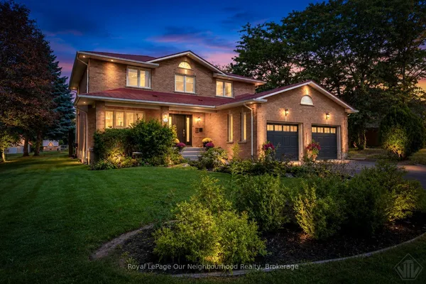
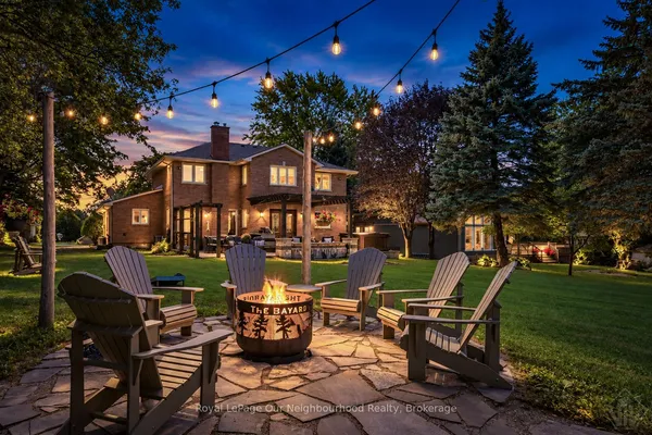
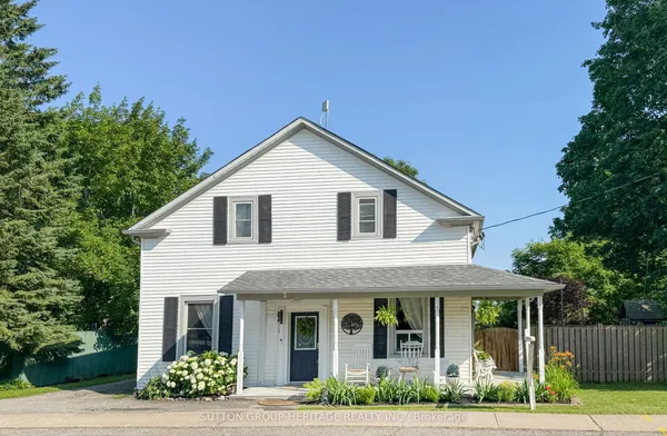
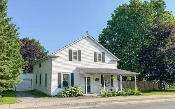
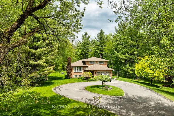
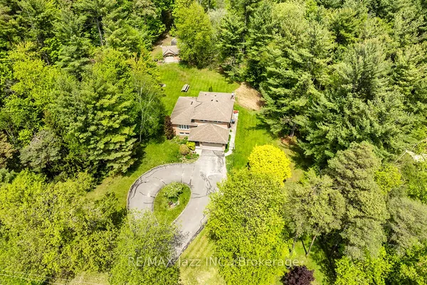
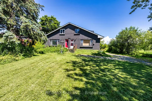
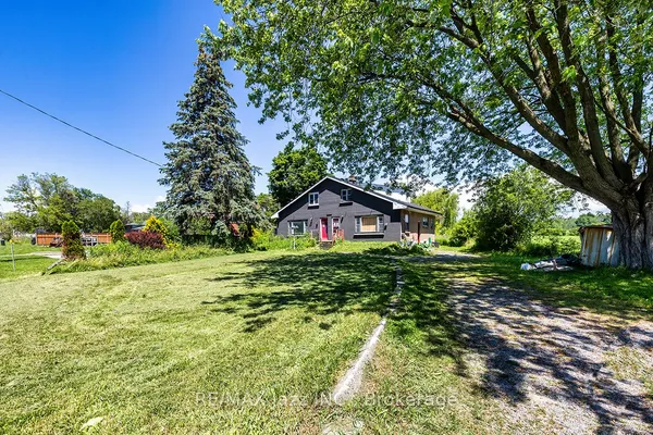
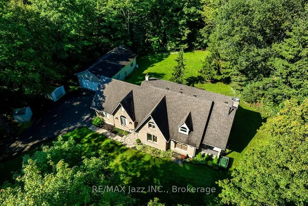
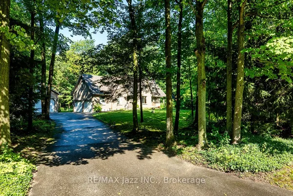
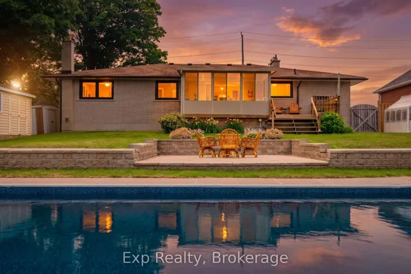
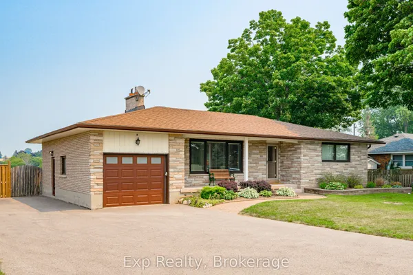
Newest Rural Clarington homes for sale

See all 76 listings

New Rural Clarington homes for sale land here first. Save this search and we email you the moment one is listed.

Where Rural Clarington sits

Rural Clarington is the tag for everything in the municipality outside the serviced areas of Bowmanville, Courtice, Newcastle and Orono: the farmland and hamlets from the Oshawa line at Townline Road east to Newtonville and the Northumberland boundary, and from the lakeshore strips outside the towns northward across the moraine to the Scugog boundary. Hampton, Enniskillen, Tyrone, Haydon, Solina, Mitchell Corners, Burketon, Kendal, Kirby, Leskard, Newtonville and Maple Grove all fall under it. Estate lots on the edge of Bowmanville or Courtice get tagged either way depending on the agent.

The homes you will find

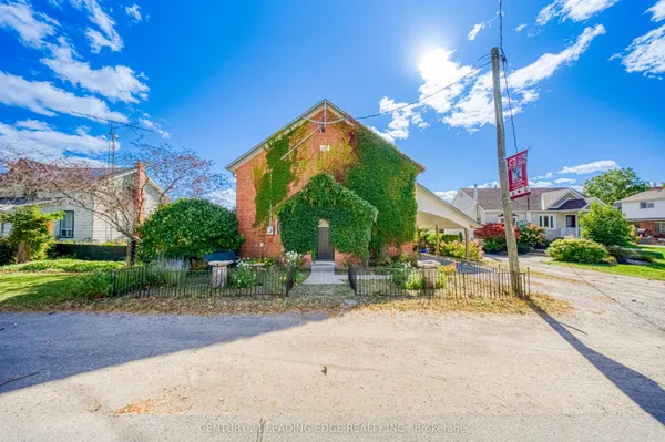
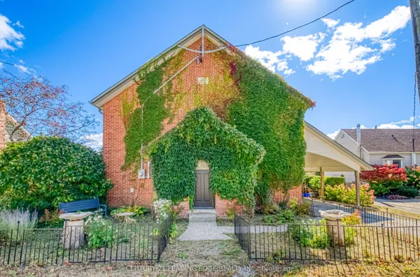
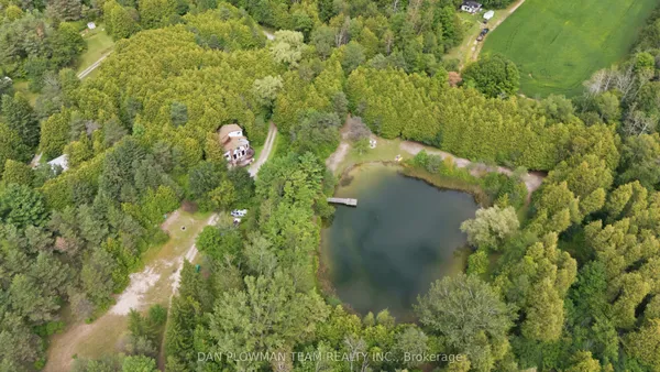
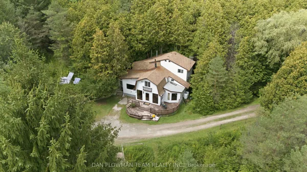
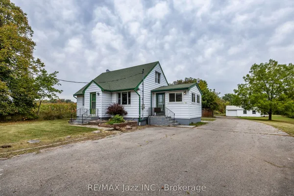
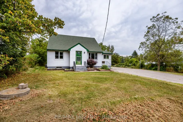
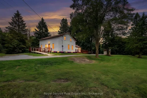
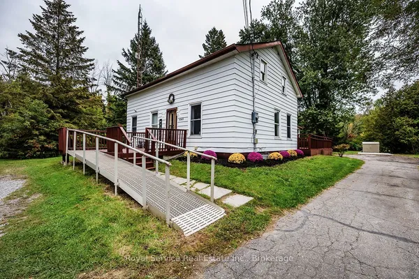
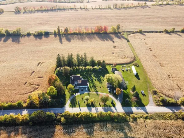
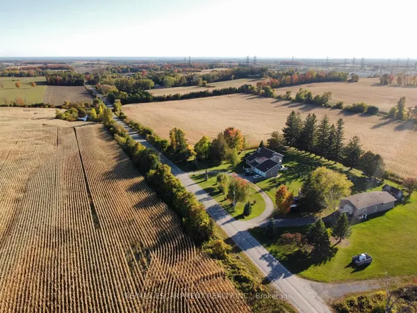
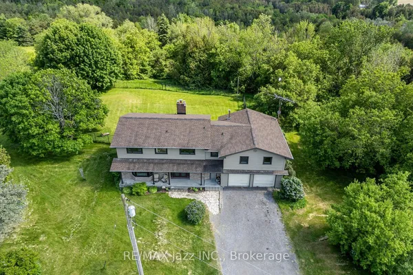
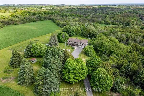
The housing is detached and the land does most of the talking. Century farmhouses, from brick Ontario cottages to Gothic Revival two-storeys of the 1850s to 1900s, sit on working farms of 50 to 100 acres and on severed lots of an acre or two, often with the barn, drive shed and silo still standing. The hamlets hold clusters of 1880s to 1920s village houses on half-acre lots, a few chapels and halls, and postwar bungalows filling in. Estate subdivisions from the 1970s to the 1990s, before the moraine rules, added ranch bungalows and large two-storeys on parcels of an acre or two along roads such as Concession Road 7 near Enniskillen, around Hampton and Solina, and south of Burketon; several 2000s estate pockets exist near Newtonville and Kendal. Almost everything runs on a drilled or dug well and a septic bed, and heats with propane, oil or a geothermal system rather than gas on many roads. A Hampton bungalow and a Kendal horse farm carry the same tag with nothing else in common.

Getting around

Everything here is a drive, but the drives got shorter in 2019 when the 407's eastern leg opened to the 35/115 and the 418 connected it to the 401 at Holt Road. Interchanges on the 407 at Enfield Road, Bowmanville Avenue and the Darlington-Clarke Townline put Solina, Hampton, Enniskillen, Tyrone and Kendal within a few minutes of a toll highway; tolls came off the 418 in 2022 and, reportedly, off the provincial 407 section in mid-2025. The 401 serves the south edge with the Newtonville Road exit and the town interchanges, and the 35/115 runs the eastern hamlets north to Peterborough. Regional Road 57, Old Scugog Road and Regional Road 17 are the north-south spines. Oshawa GO is thirty to forty-five minutes away; Durham Region Transit reaches the countryside only through On Demand booking. Cyclists get empty concession roads and the Ganaraska trails, and snow days on the moraine roads are part of the winter.

Schools

Rural students attend Kawartha Pine Ridge public schools and PVNC Catholic schools by bus, and the assignments follow road-by-road boundaries the boards redraw as villages grow. Public elementaries in the countryside include Enniskillen Public School and M.J. Hobbs Senior Public School in Hampton for grades 7 and 8, with Orono and Newcastle schools taking the east and the town schools taking the roads nearest Bowmanville and Courtice; secondary students go to Bowmanville High School, Clarington Central, Courtice Secondary or Clarke High School depending on the road, and Catholic students ride to the town schools. Small rural schools are periodically reviewed for closure, so treat any school named in a listing as a question for the board, not a fact. For French-language schooling, Viamonde and MonAvenir mean Oshawa. Bus eligibility, ride length and the pickup point matter more here than in town, and the boards' transportation consortium publishes them by address.

Parks, shopping and daily life

The countryside is the park. Central Lake Ontario Conservation runs the Enniskillen property, a wooded moraine tract with trails and a picnic area, and Long Sault to the northwest, larger and hillier, used for hiking, skiing and biking; Stephen's Gulch on Soper Creek north of Bowmanville is the third. The Ganaraska Forest, managed by the Ganaraska Region Conservation Authority, covers more than four thousand hectares across the northeast, with membership trails for hikers, riders and, in marked zones, snowmobiles and off-road vehicles, and a forest centre near Kendal. Tyrone Mill sells flour, cider and doughnuts from its 1846 building, Hampton has its pond and community centre, and every hamlet keeps a hall, a ball diamond or a church that still hosts suppers. Canadian Tire Motorsport Park, the road-racing circuit that opened as Mosport in 1961 on Concession Road 10, brings race crowds, camping and traffic to the roads above Bowmanville through the warm months. Groceries, the hospital and big-box shopping mean Bowmanville, ten to thirty minutes off.

Who it suits

Rural Clarington fits people who want acreage and can look after it: farmers, horse people, trades with equipment, and households happy to manage their own well, septic system, long driveway and generator. The 407 and 418 make it workable for a GTA commuter who drives, and the hamlet houses give a foothold to buyers who want a country address without a tractor. It is wrong for anyone who expects municipal services, transit, walkable shops or a quick build permit; the moraine and Greenbelt rules, race-weekend traffic near Mosport and winter road conditions are all part of the deal here.

Questions people ask about Rural Clarington

Will Clarington let me split a farm lot, or put a second house on it?

Rarely. Moraine policy, the Greenbelt Plan and Durham's official plan restrict lot creation on farmland, allowing severances mainly for a surplus farm dwelling when farms merge, and a second house is generally limited to an additional residential unit or a farm-help dwelling under conditions. Ask Clarington's planning department about your parcel before counting on any severance.

How does the farm tax program work for a rural buyer?

Ontario's Farm Property Class Tax Rate Program taxes eligible farmland at a fraction of the residential rate, as of this writing a quarter of it, if the land is farmed by a qualifying farm business with a registration number. The dwelling plus one acre stays in the residential class. A buyer who stops farming loses the class, so ask how the current taxes are calculated and whether a lease to a neighbouring farmer keeps eligibility.

How loud is Canadian Tire Motorsport Park?

On race weekends and testing days the circuit north of Bowmanville can be heard for several kilometres depending on wind, with the largest events bringing camping crowds and traffic on Regional Road 20 and Concession Road 10. Properties in the Tyrone, Kendal, Leskard and Kirby area are the most affected. Visit on an event weekend, which the track publishes in advance, before buying nearby.

What does buying on a well and septic involve in Clarington?

Condition the offer on a lab test of the well water for quantity and quality and a septic evaluation, tank pumped and bed probed; get the well record from the Ministry's database and the septic permit from Durham Region's health department where it exists. Budget for a UV or softener system on many rural wells, and for a new bed on any pre-1980 system that has not been replaced.

Is internet and cell service reliable in the hamlets?

It varies road by road. Fibre has reportedly reached some hamlets and concession roads through provincial and regional broadband programs since the early 2020s, while others still make do with a wireless tower signal or satellite, and cell coverage drops in the moraine valleys. Ask the seller for the current provider and speed, test your phone on the property, and treat a fibre map as a promise until an installer confirms the address.

Sources: clarington.net · clarington.net · clarington.net · clarington.net · durham.ca · durham.ca